Abstract
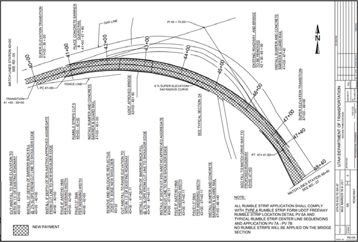
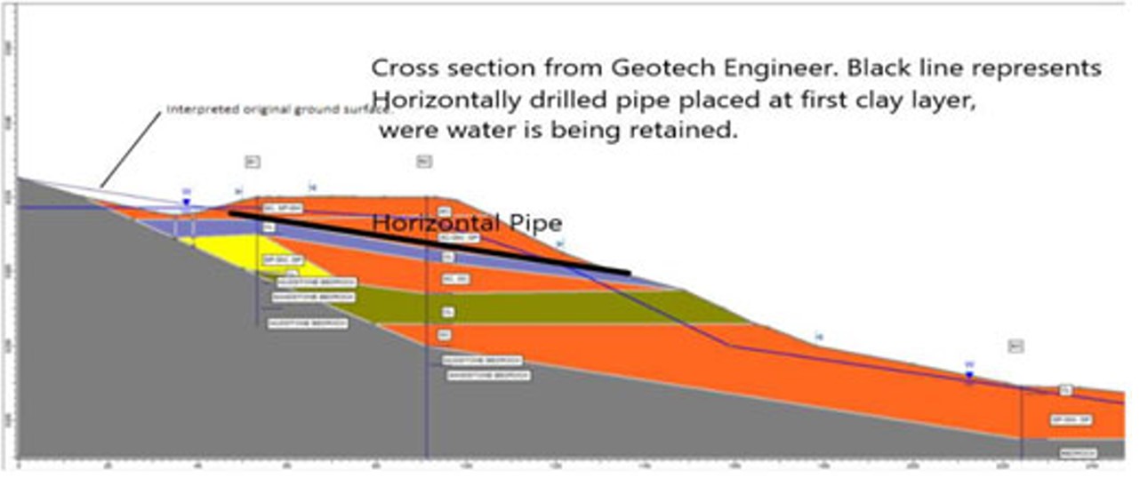
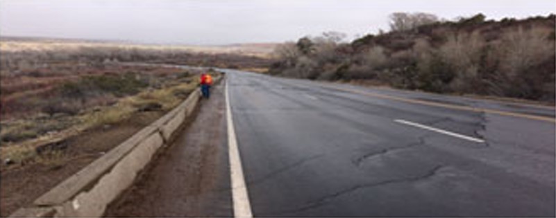
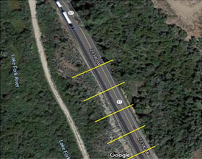
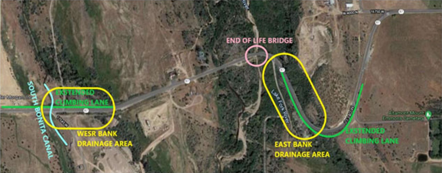
This project involves realigning a section of road on SR‐87 west of the city of Altamont, UT between mile markers 18.8‐20.1 where the route traverses the Lake Fork River Gorge. Existing problems consist of. (1) the road has sloughed down the escarpment due to major sediment transfer underneath the road. (2) the road is fractured on the West Bank. These problems are exacerbated by sediment transfer, ultimately the result of poor drainage. Additionally, the climbing lanes require extension. Data gathered from the field and UDOT reports give us proposed solutions to existing barriers for the realignment of this portion of highway.