Five years after Captain Andrus and his men wandered over the Kaibab Plateau, two men, J.A. Call and Wal. Bateman, not affiliated with any particular group, were likely the earliest Euro-Americans to venture through Capitol Reef. They traveled through Capitol Gorge, and on September 20, 1871, left their names, the date, and “PROSSPECTER” carved into a stony, vertical wall. These men were probably in search of rich ores to mine. Nothing more is known about these two but if they hadn’t left their mark, no one would know they had ever been there.
One year later, another group came into the area. These men were not seeking wealth to be dug from the bowels of the earth but were dedicated to the mapping and exploring of the area. In 1872 Almon H. Thompson, a geographer in John Wesley Powell’s group, led an expedition to explore the region.
They came from the west, high above the fold on the timber-laden Boulder Mountain. While their approach was similar to the Andrus party’s approach, Thompson’s group was much more familiar with the rugged terrain of the area, having just run the Green and Colorado Rivers. They sought a route east to the Dirty Devil River. The Henry Mountains in the distance lay due east, so it was decided to head that direction and find a way from there. The Waterpocket Fold lay right in their path.
This would be the first group to actually record their travels through Capitol Reef. On June 13, after a rainy night, the party set off on the twisting and often indistinct trail, traveling almost due east. After several miles, John K. Hillers, a government photographer with the Powell group, wrote:
“We came to a place where a valley lay about 1800 feet below us, with the descent to it over bare, smooth, white sandstone almost as steep as a horse could stand on. We traveled a mile and a half over this and then found ourselves in a better-looking region where, after a few miles, we discovered a beautiful creek flowing rapidly. There was plenty of good grass and we made our camp beneath some cottonwood trees, having accomplished twenty miles the way we came. Smoke of an Indian fire was rolling up about three miles below us, but we paid little attention to it...Having slept little the night before, we barely stirred till morning, and in gratitude we called the stream Pleasant Creek without an attempt at originality.” (Herbert E. Gregory, ed., "Diary of Almon Harris Thompson," Utah Historical Quarterly, 7 Jan.-April 1939, "Thompson Diary", 84)).
John Wesley Powell
A. H. Thompson
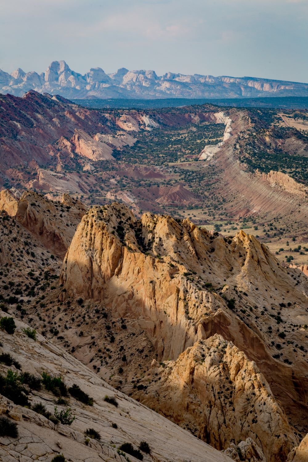
Waterpocket Fold - Photo by Reid Elem
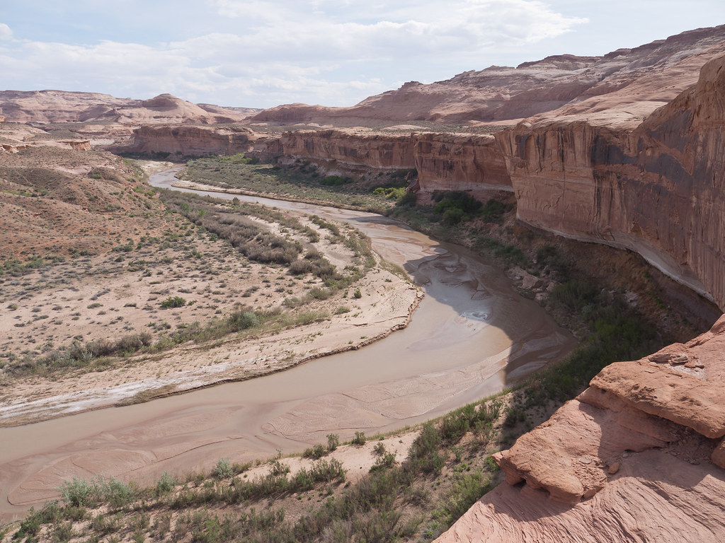
Dirty Devil River
Today, Pleasant Creek continues to live up to its name flowing gently down from Boulder Mountain, through Capitol Reef, past Capitol Reef Field Station and on through the park to join with the Fremont River, which runs through the park along Highway 24.
The Thompson group encountered a group of Red Lake Utes the next day. At first, the meeting was tense but after a brief time, everyone became rather friendly, and Thompson asked for a guide to help them to the river. It was apparent that this group of Utes were very familiar with the area and traveled through it on a consistent basis. They were in the area gathering seeds and nuts and had quite a large collection. No guide was given, but the chief gave a detailed description using signs and some words that proved to be very accurate.
After a peaceful night of trading, the Utes and explorers went their separate ways. Here, the actual route of Thompson's party through Capitol Reef gets confusing. Without the sought-after guide, they traveled another 12 miles, passing through one narrow canyon, perhaps the one west of Capitol Reef Field Station, before descending into a larger one. They ultimately made it through the fold but wrote only minimally about the actual path they took. It is only a guess from their brief descriptions as to their true route. Later, Thompson named the large geologic monocline "Waterpocket Fold" because of the many water pockets (depressions in the sandstone that collect and hold water).
After the Thompson-led exploration of the Waterpocket Fold, geologists assigned to Powell's fledgling U.S. Geological Survey took a more detailed look at the area. Geologists Grove Karl Gilbert and Clarence E. Dutton traveled through Capitol Reef on separate expeditions in the late 1870s. Their descriptions and analyses of the features they saw laid the foundation for modern sedimentary geology.
Waterpocket Fold - Photo by Reid Elem
Dirty Devil River
Gilbert was the first to investigate the geology of the Waterpocket Fold during his field work on the Henry Mountains in 1875 and 1876. His 1877 report illustrated the geology of Capitol Reef, both in words and drawings:
“To reach the Henry Mountains from Rabbit Valley, [one] must cross the Waterpocket flexure; and so continuous and steep are the monoclinal ridges which follow the line of flexure, that there are but four points known where he can effect a passage. Except at these points, the barrier is impassable from Thousand Lake Mountain to the Colorado River, a distance of eighty miles...[One] can follow the [Fremont] river if he tries, and emerge with it beyond the flexure; but the way is difficult and the Indian trail he has followed thus far leads on to another canyon. The monoclinal valley [from Fruita to Pleasant Creek] which has opened so easy a way continues for fifteen miles farther, and in that distance is crossed by four waterways, each of which leads by a narrow canyon through the great sandstones. The first and fourth are impassable. The second carries no permanent stream and is called the 'Capitol Canyon.' The third affords passage to Temple Creek [Pleasant Creek]. The smoothest road lies through Capitol Canyon, but the Temple Creek Canyon has an advantage in the presence of water and is furthermore attractive by the reason of the picture-writings on the walls.(George K. Gilbert, Report on the Geology of the Henry Mountains 2nd ed. (Washington, D.C.: U.S. Government Printing Office, 1880), 14.)
Gilbert accurately portrayed the origins and weathering of this classic monoclinal uplift, giving it a proper sense of grandeur. But Clarence Dutton surpasses any modern travel writer when it comes to describing the landscape of Capitol Reef National Park. Crossing Boulder Mountain only a short time after Gilbert, Dutton experienced his first impressions of Capitol Reef, writing:
“It is a sublime panorama. The heart of the inner Plateau Country is spread out before us in a bird's eye view. It is a maze of cliffs and terraces... red and white domes, rock platforms gashed with profound canyons, burning plains barren even of sage - all glowing with bright colors and flooded with blazing sunlight.... It is the extreme of desolation, the blankest solitude, a superlative desert." (Clarence E. Dutton, Report on the Geology of the High Plateaus of Utah (Washington, D.C.: U.S. Department of Interior, Geographical and Geological Survey of the Rocky Mountain Region, 1880) 286-287 .)
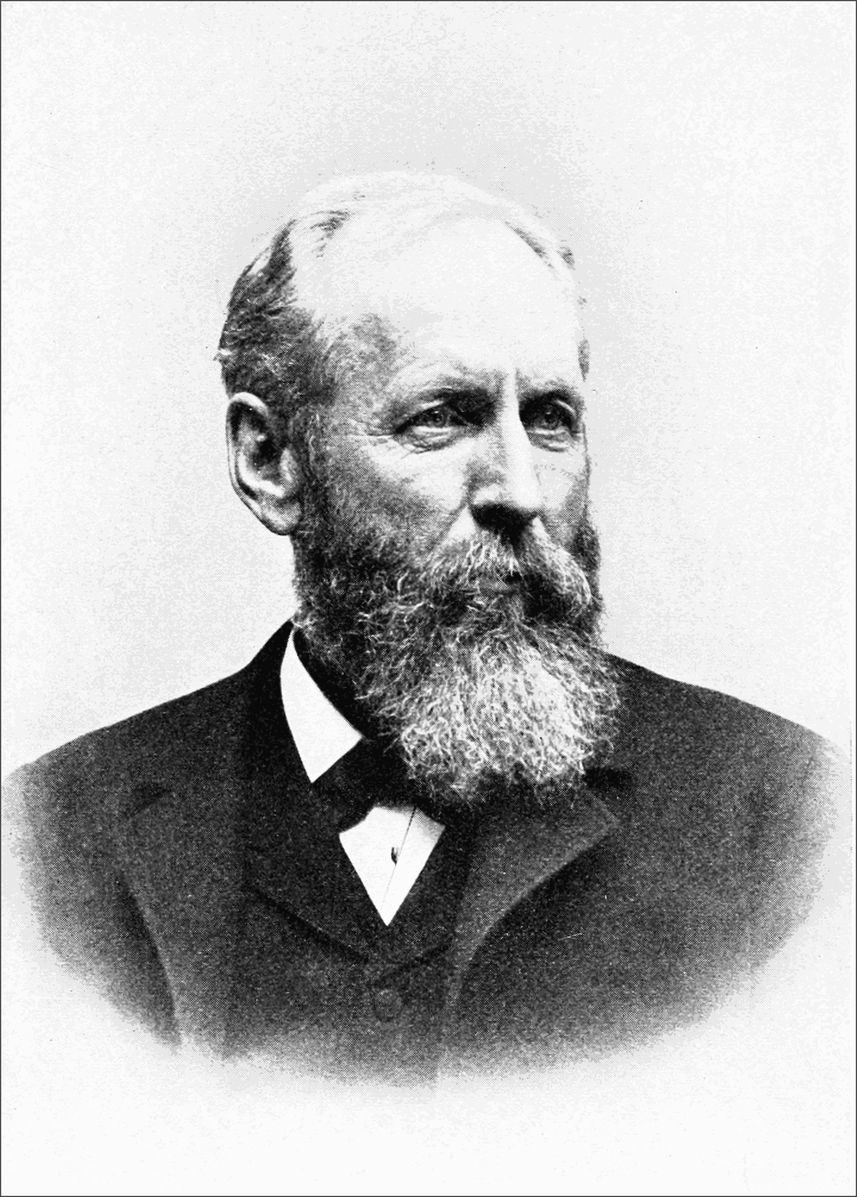
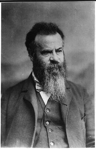
Grove Karl Gilbert
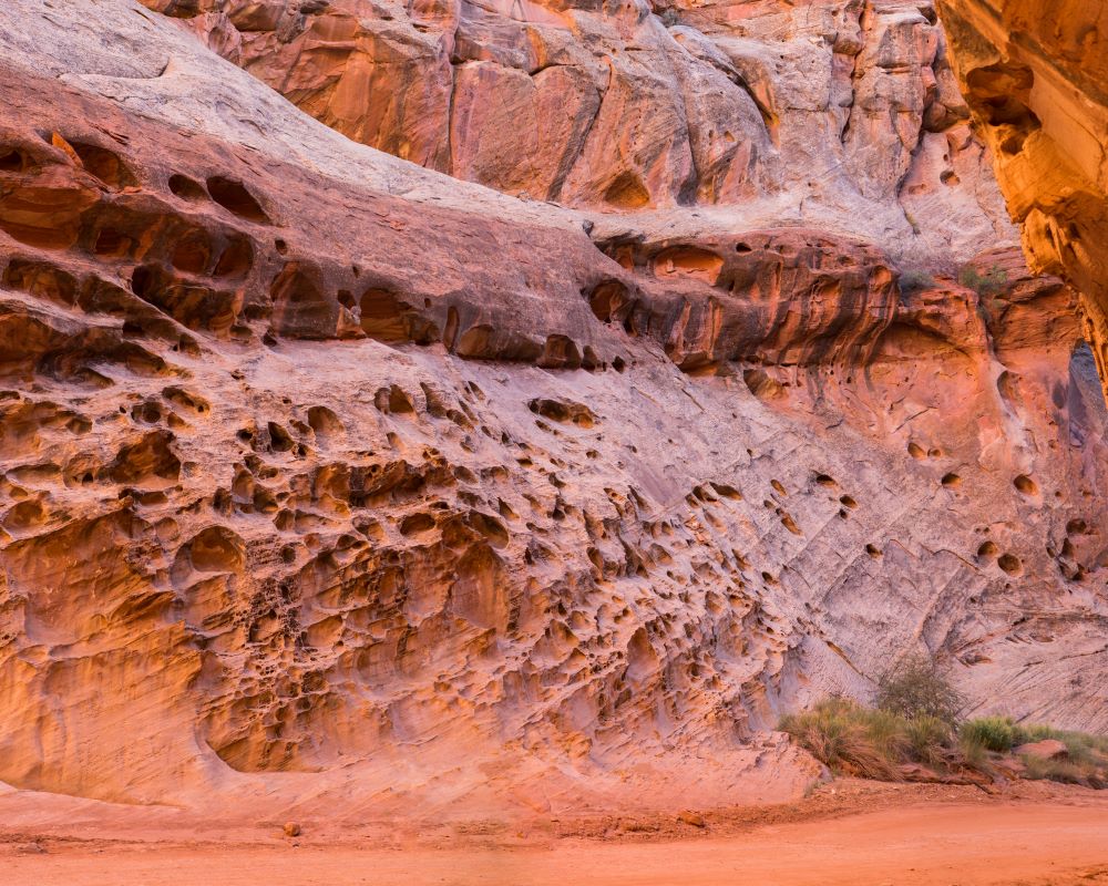
Waterpockets in Sandstone- Photo by Sarah Sanchez

