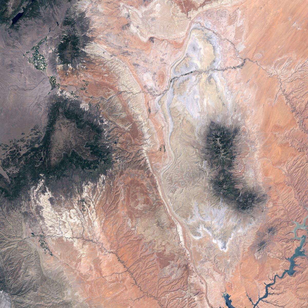
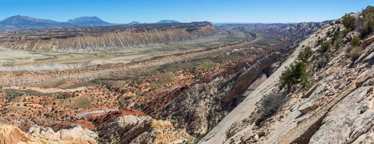
The Waterpocket Fold is so large that it can be seen from the International Space Station! For a bird’s eye view of the Fold, the Larb’s Hollow Overlook on Scenic Highway 12 is a great place to get a sense of the magnitude. The Notom-Bullfrog Road on the east side of Capitol Reef offers a close-up view of the Fold, and the farther south you drive, the more impressive and visible the uplift is. If you drive up the Burr Trail Switchbacks, the views from the top illustrate the Fold and the "strike valleys" that have formed parallel to it. Strike valleys form from the erosion of softer layers within harder sediments. As Tom Morris explains, “In an area with tilted strata [rock layers], erosion will erode some rock units faster than others. These weaker units erode into valleys between the layers of more resistant rock.” From the Burr Trail, some of the ridges along the strike valleys are formed in Dakota Sandstone and a fossilized oyster shell reef (from an inland sea about 100 MYA).


