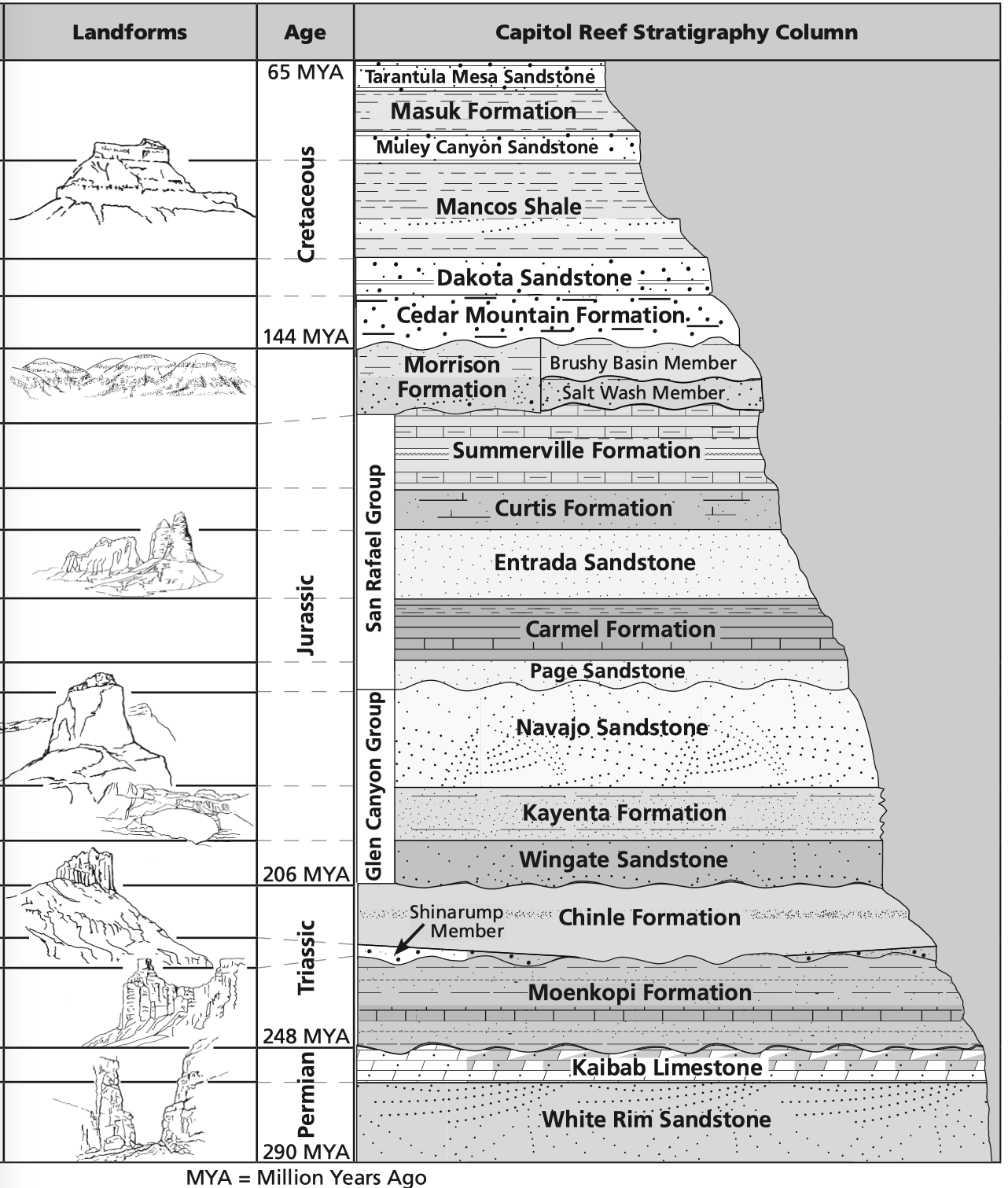
Deposition

Overview

Capitol Reef contains over 200 million years of geologic history, spanning from the Precambrian (270 MYA-millions of years ago) to the Cretaceous (80 MYA). Nineteen rock layers are visible within the massive monocline, the Waterpocket Fold. The geologic story of this region can be summed up in three words: Deposition, Uplift, and Erosion. In this module, the three processes will be discussed separately.

Deposition

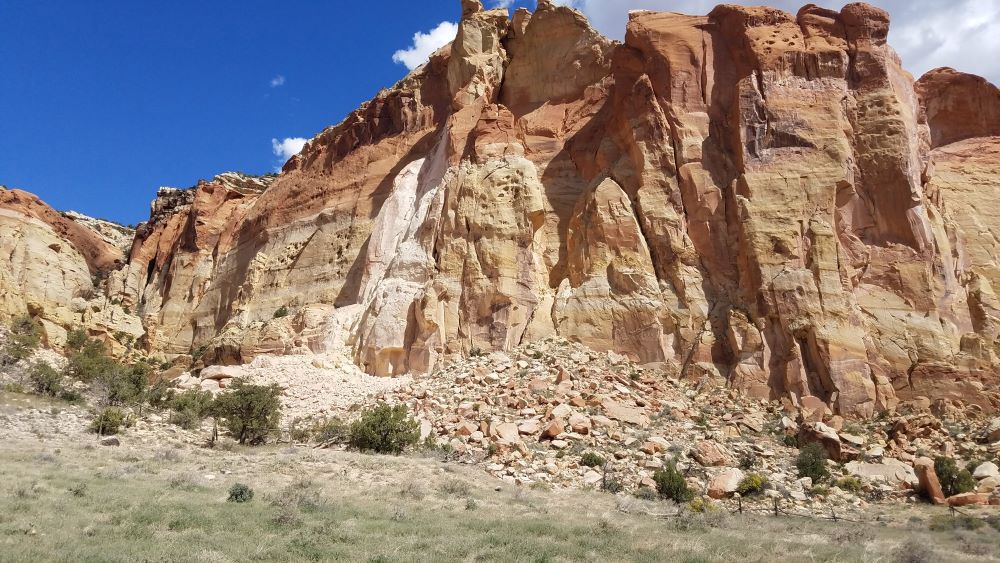
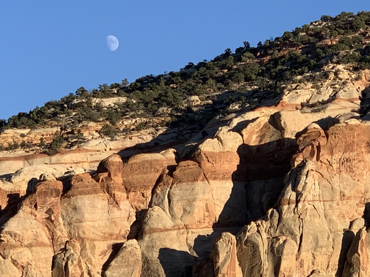
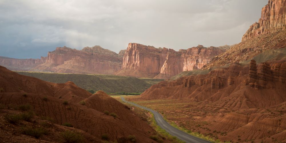
Rock layers are an indication of ancient environments, and the characteristics of rock layers (texture, color, etc.) reveal old environments at the time the rock layers were preserved in stone. Sandstone layers are ancient sand dunes; braided rivers, swamps, and even oceans are visible as different rock layers. Not all ancient environments are preserved in stone. Sometimes there are “unconformities,” or gaps in geologic time, where layers are missing. Some layers appear in other locations, but other times, that gap is unfilled, and that layer is not visible anywhere.

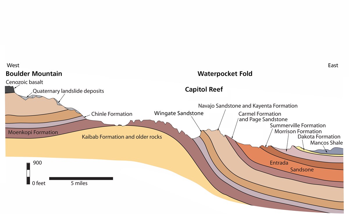
When studying geology and looking at rock layers, the oldest rocks are at the bottom, and the youngest rocks are at the top. This is called the principle of superposition. You can think about it like a stack of pancakes: the oldest, or first pancakes off the griddle, end up at the bottom of the pancake pile. The same is true with rock layers. Old pancakes, and old rocks are at the bottom, whereas new pancakes, and new rocks (though they may still be pretty old) are at the top.

A stratigraphy column is an illustration of the rock layers.

stratigraphy column

Stratigraphy column - courtesy of the National Park Service

Deposition In Pleasant Creek

From the Field Station the visible layers are the red and tan Wingate cliffs, the Kayenta (where plants grow more easily), and the Navajo Sandstone (tan and white rounded slopes). While it is easy to give a specific time and ancient environment for rock layers, layers were often deposited over millions of years, so there were sometimes other environments in the overall rock layer. The layers visible in Pleasant Creek are all Jurassic (200-145 MYA).

Wingate Sandstone

The Wingate Sandstone was deposited about 200 MYA in a sand dune environment. Wingate Sandstone is cliff-forming and develops many vertical cracks in it. It is prone to rockfalls, like the one recorded in Pleasant Creek in 2019 (you'll find a video that was taken after that rockfall in the Capitol Reef Geology Part 3: Erosion (and additional resources) page). The Wingate Sandstone ranges from a pale tan to a deep red, and sometimes even iridescent black, thanks to the staining of minerals on the surface. Desert Varnish (the staining) is a combination of microbes, water, and minerals blown onto the rock surface by the wind. Sometimes varnish forms quickly, and sometimes it takes much longer to develop. The shiny black varnish (a favorite surface for petroglyphs) forms from manganese which is taken out of the local environment and oxidized on the rock surface. Red stains come from iron in different concentrations.

The Wingate Cliffs near the Field Station. Notice the pale section, where a rockfall occurred - Photo by Joe Ceredini

The Wingate Cliffs near the Field Station. Notice the pale section, where a rockfall occurred - Photo by Joe Ceredini

Kayenta Formation

Above the Wingate (and therefore younger) is the Kayenta Formation. This layer was deposited about 190 MYA in various depositional environments. From Pleasant Creek, the dominant ancient environment for the Kayenta is a braided river and stream system. Generally, the Kayenta is composed of mudstone left behind from the ancient rivers and flood plains. The climate was overall arid, and there were dunes in some places, so the Kayenta can also be sandstone in certain areas. The Kayenta is often referred to as “ledge-y and veggie” since the rock layers often weather horizontally and are useful for trail-building. Veggie comes from the vegetation that can grow more easily in this rock layer, including pinyons and junipers. Bighorn sheep often use the Kayenta, since it provides food and many paths to escape predators.

The Kayenta Formation is covered by trees, above the striped Wingate

The Kayenta Formation is covered by trees, above the striped Wingate - Photo by Ann Ehler

Other Layers

To reach the Field Station, you drive along the Scenic Drive, through the older Moenkopi (tidal flats, about 240 million years old) and the Chinle (ancient swamps, about 220 million years old), in addition to the layers visible in Pleasant Creek.

The Scenic Drive cuts through the Moenkopi Formation in the foreground, on both sides of the road. On the right, above the Moenkopi is the gray Chinle Formation. In the distance rise the sheer Wingate Cliffs

The Scenic Drive cuts through the Moenkopi Formation in the foreground, on both sides of the road. On the right, above the Moenkopi is the gray Chinle Formation. In the distance rise the sheer Wingate Cliffs - Photo courtesy of NPS/Nathan Gross

Waterpocket Fold

State Route 24 bisects the Waterpocket Fold, giving a cross-section of rock layers, with the oldest on the west and youngest on the east. As you drive east from the Visitor Center, you will go through the Kayenta (where the Hickman Bridge Trail is), into the Navajo (Grand Wash), and eventually into Morrison Formation (colorful Bentonite Hills) and the Mancos Shale (of Factory Butte).

An illustrated cross-section of the eroded monocline, the Waterpocket Fold

An illustrated cross-section of the eroded monocline, the Waterpocket Fold - Image courtesy of the National Park Service and Ron Blakey