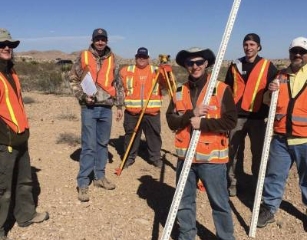
If you love outdoor adventures, using the latest technology, and solving a good mystery you will love Surveying and Mapping.
This exciting career field encompasses such disciplines as land surveying, photogrammetry, remote sensing (satellite and aerial imaging and laser scanning), geographic information systems (GIS), cartography, global positioning systems (GPS), and some parts of geography and civil engineering.
We integrate acquisition, modeling, analysis, and management of geospatial reference data. Licensed land surveyors have an obligation to protect the public and private real property rights, title, and interests. This often involves field investigation, data analysis, and application of boundary/property laws and legal principles pertaining to those properties
![]()
Average Salary
Working in an exciting career where the average salary is $82,100 plus benefits
![]()
Multiple Options
We offer an AAS or a BS degree or a GIS Certificate. Part or Full Time. Live Stream, Online or Face-to-Face
![]()
Small Class Size
Our program has small classes which allow for more 1 on 1 time
![]()
In Demand Jobs
There is an average of 5 job openings per Surveying and Mapping student